Project History
How PEARL evolved from first prototype to the current platform.
- V3
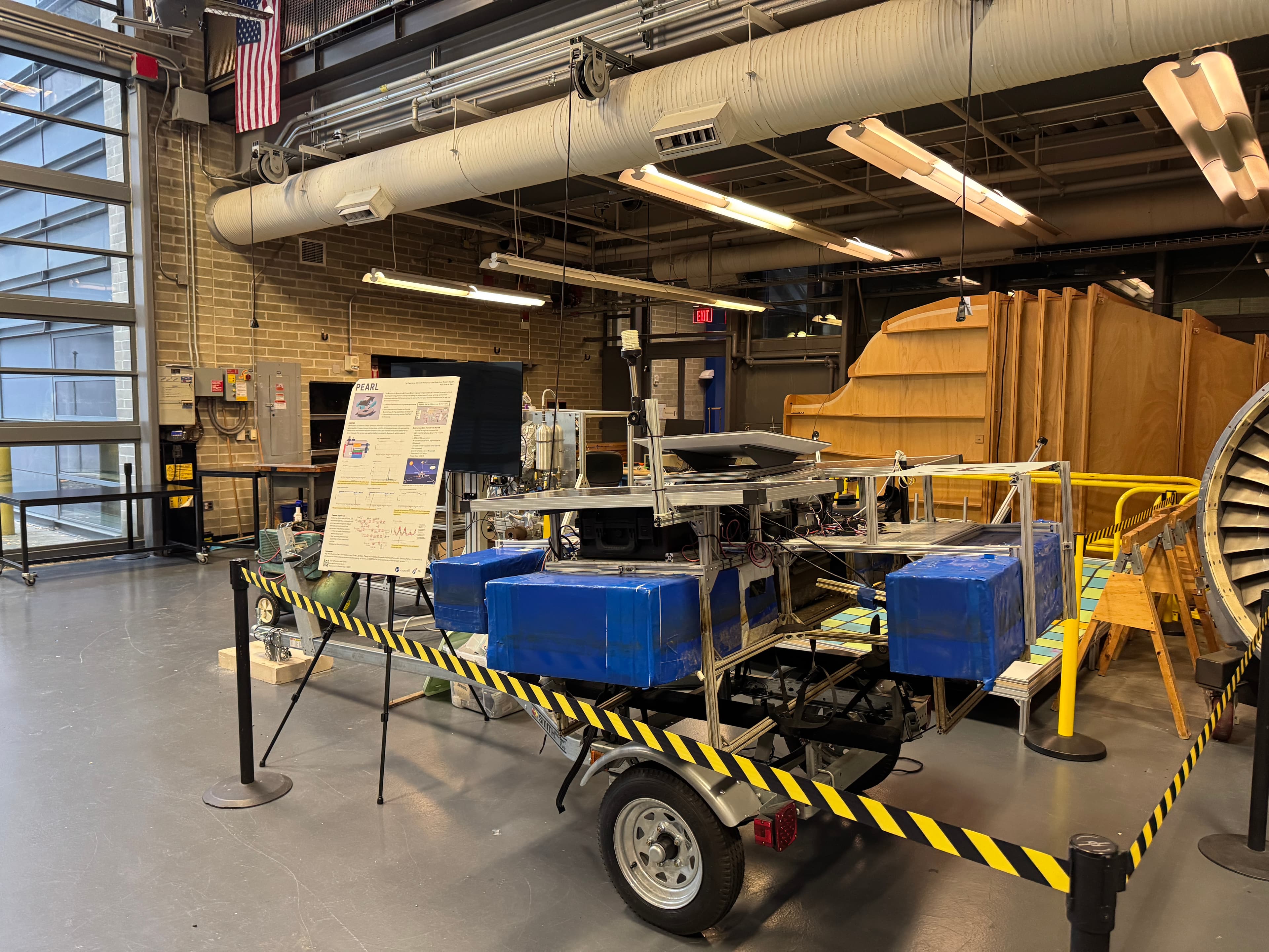
PEARL V3 — Current platform
Current smart data buoy with improved reliability, more sensors, and preparation for AUV recharging and LEO satellite connectivity concepts.
- •Enhanced reliability and uptime
- •Broader environmental metrics
- •Path to AUV recharging concept
- •LEO satellite integration research
 V2
V2PEARL V2 — Pleasant Bay deployment
Deployment in Pleasant Bay, MA in partnership with Pleasant Bay Community Boating. Iridium satellite link for near-real-time data transmission.
- •Pleasant Bay, MA deployment
- •Iridium satellite terminal
- •Near-real-time data to shore
- •Expanded sensor suite
- V1
PEARL V1 — First prototype
Initial concept and small-scale prototype. Focus on solar power, basic sensors, and proof of concept for autonomous data collection.
- •First floating prototype
- •Solar-powered operation
- •Basic environmental sensors
- •Deep Pond deployment (Oct 2020 – Apr 2021)
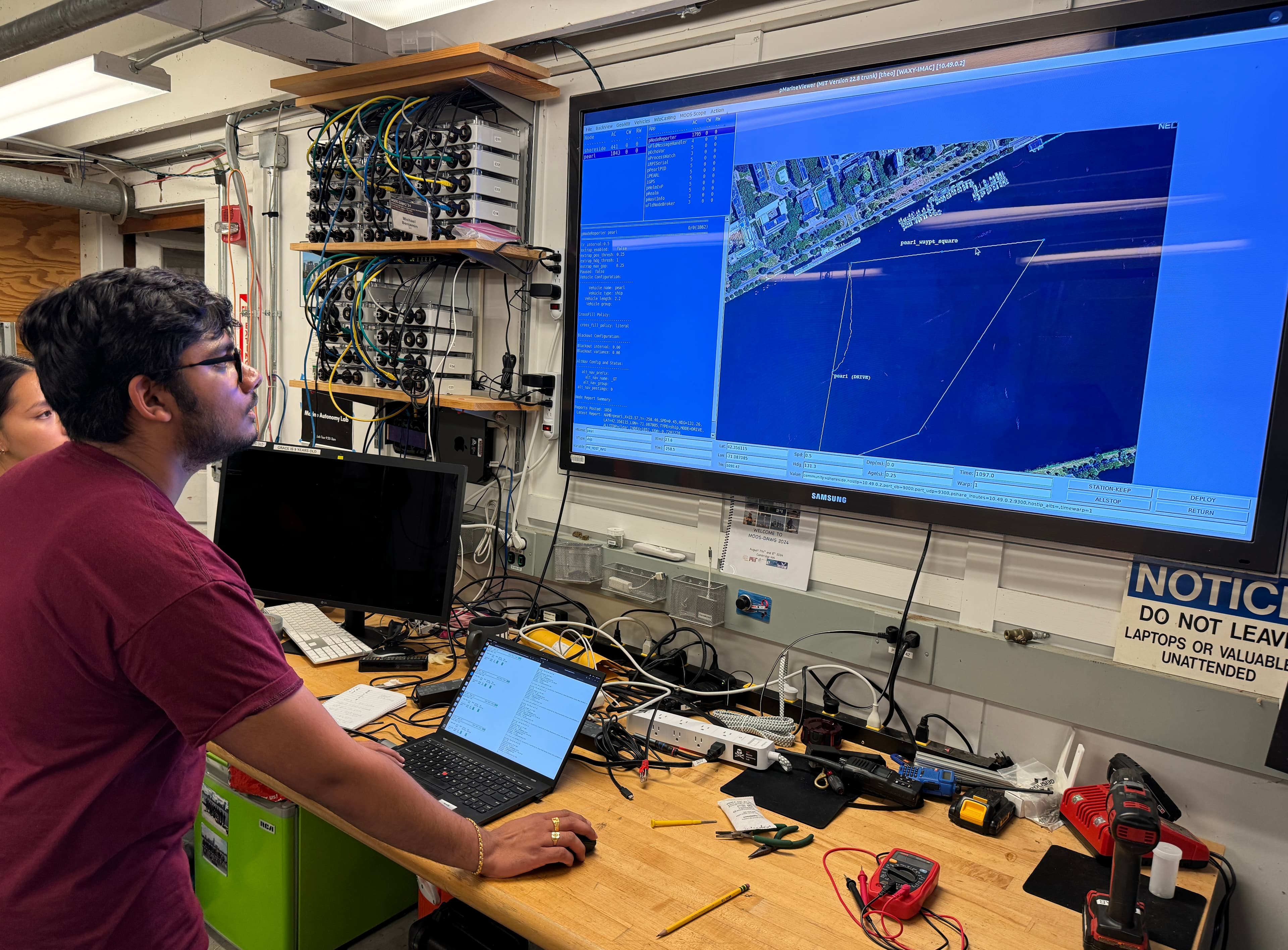
Explore PEARL in real time
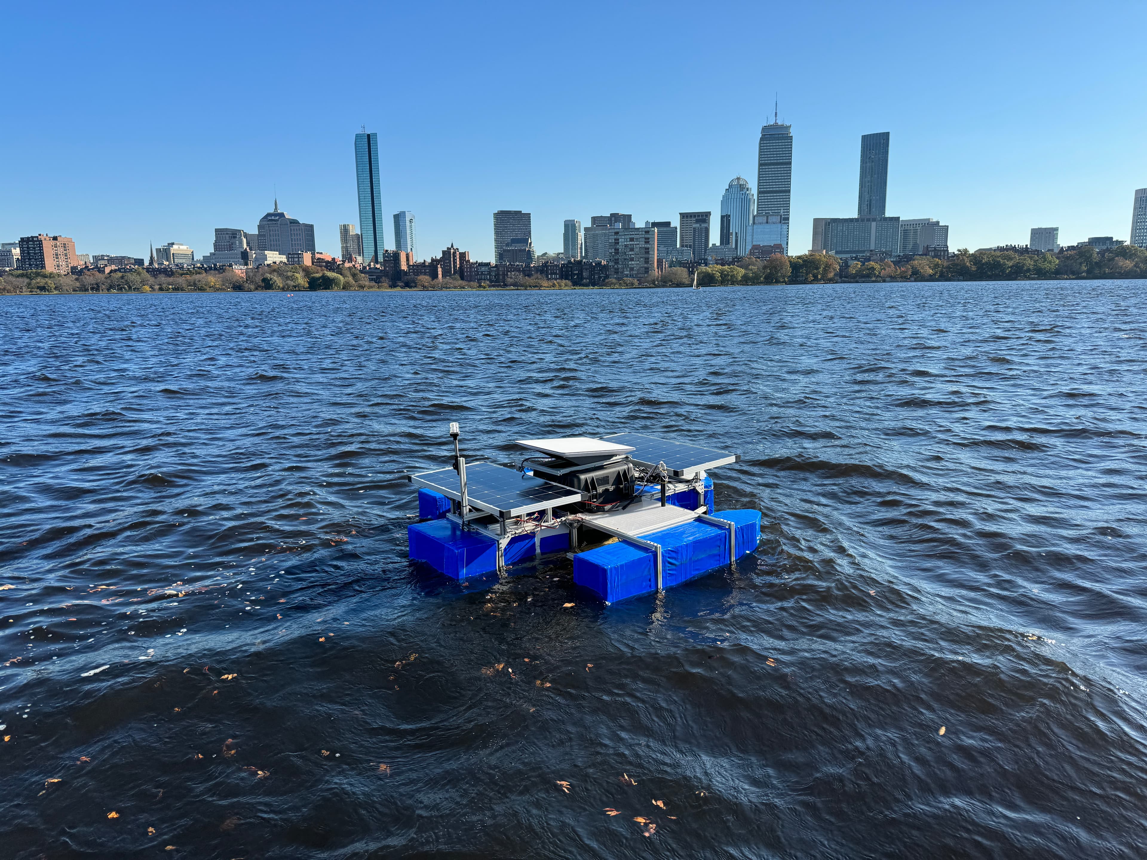
View Live FeedPEARL is an autonomous floating platform that harvests solar energy and sends environmental data from the water to shore via satellite. Explore the project, see live data, and learn how it supports longer-range ocean exploration.